

The Chugach Crowberry Traverse!
I made a 77 mile route in Alaska that you can hike if you want

TL;DR:
The route in Alaska that I’ve been working on for four years, the Chugach Crowberry Traverse, is finally available for public consumption! Full details and the map are here.
Also! If you want to learn to make your own routes, I’m offering a two-hour sliding scale caltopo workshop on zoom on Sunday, April 28. Full details and the link to register are here.
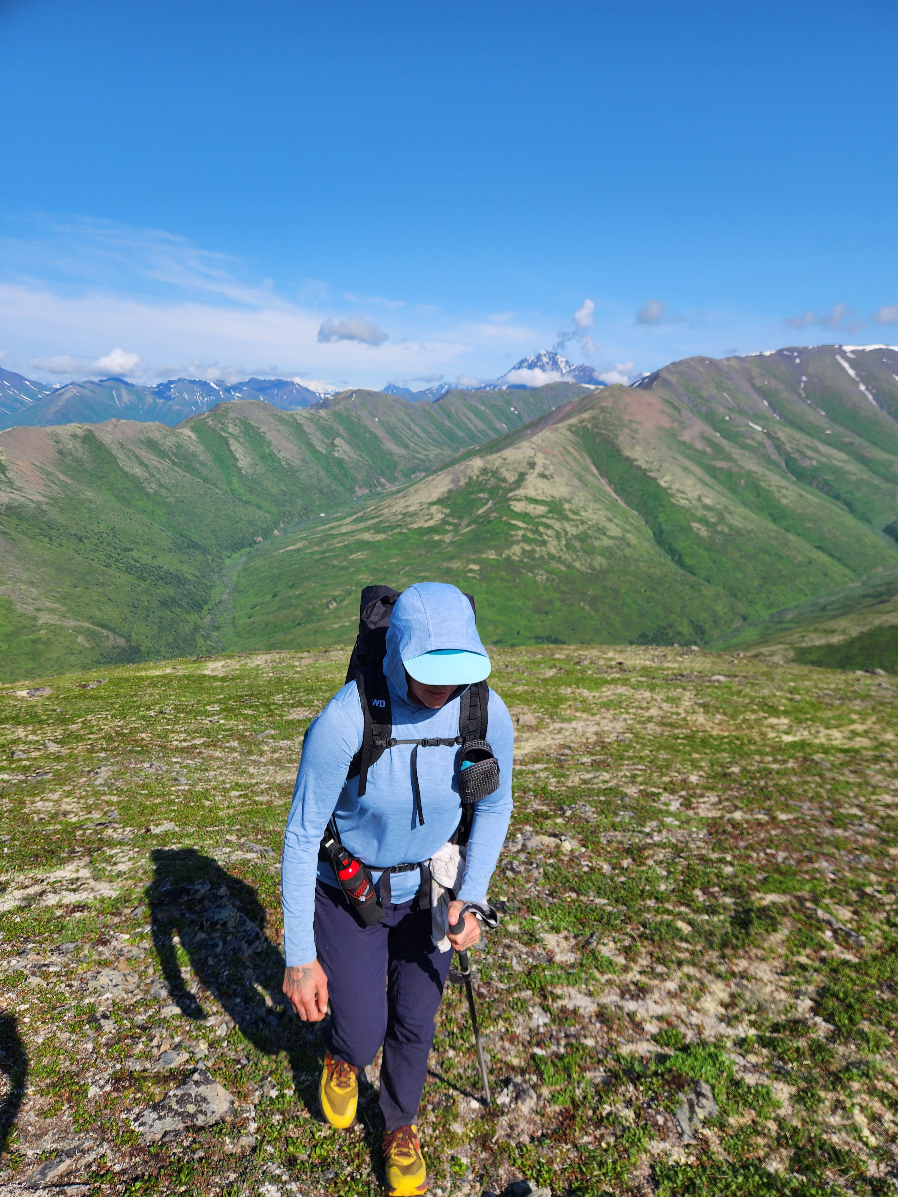
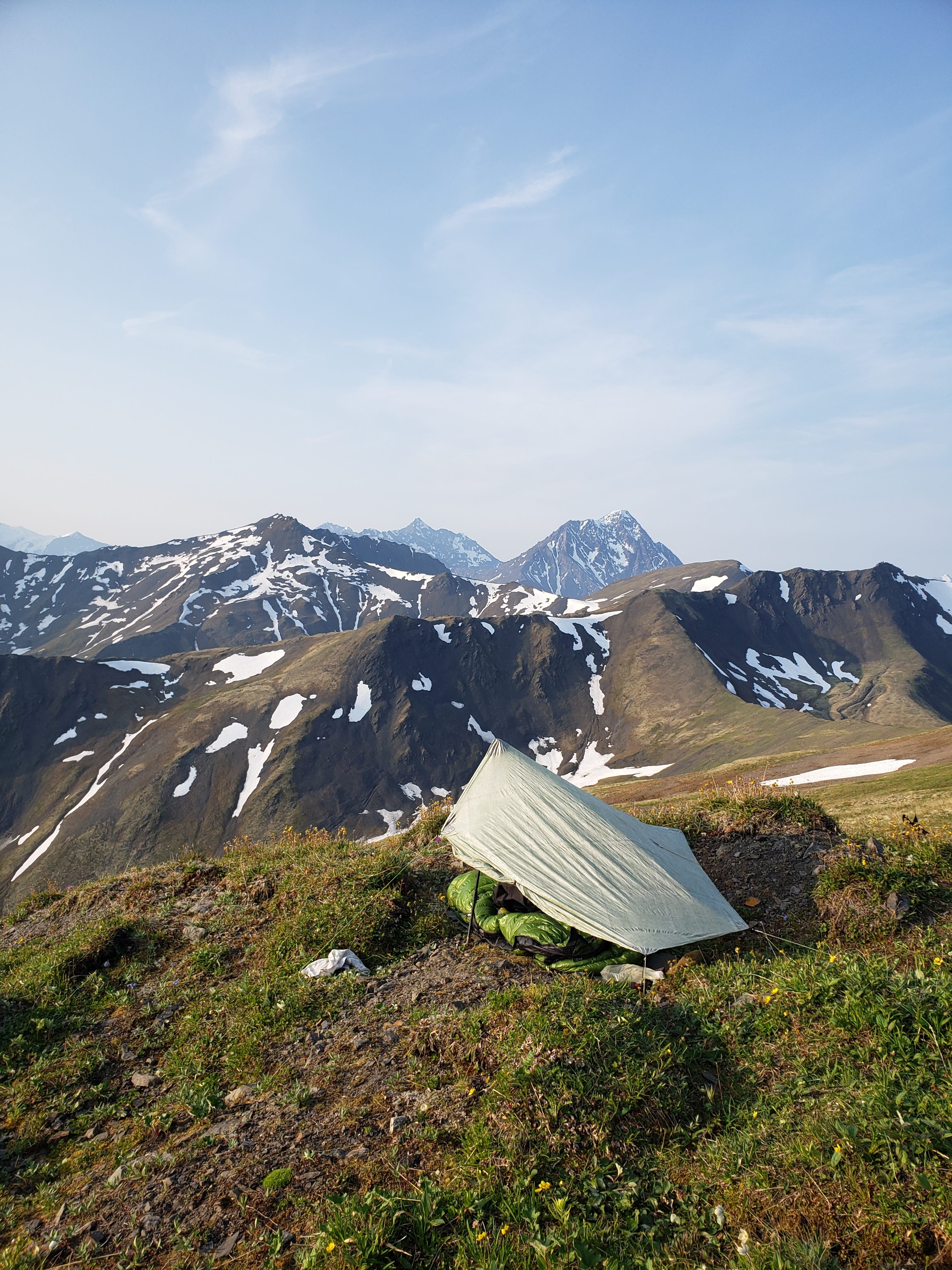
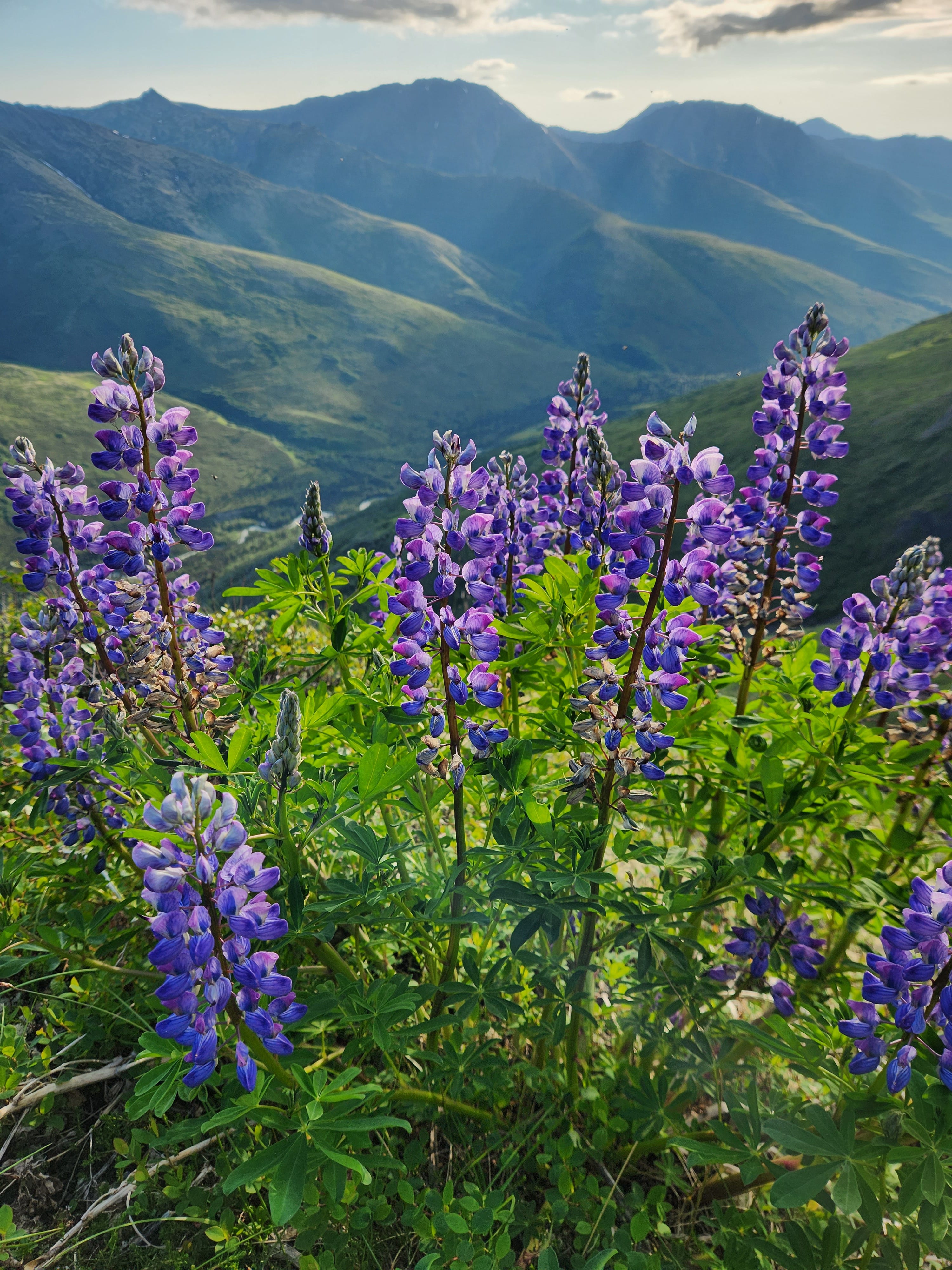
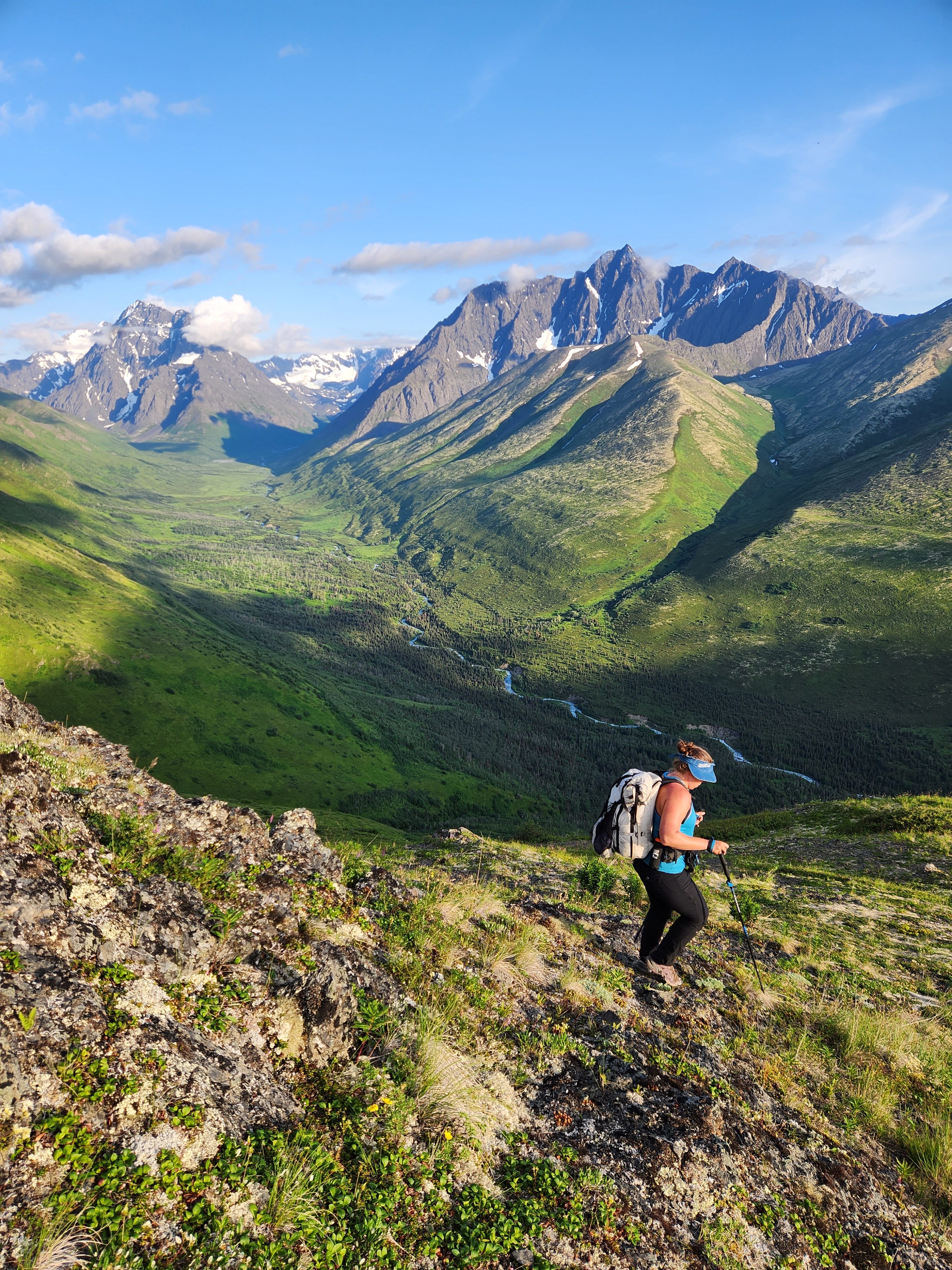
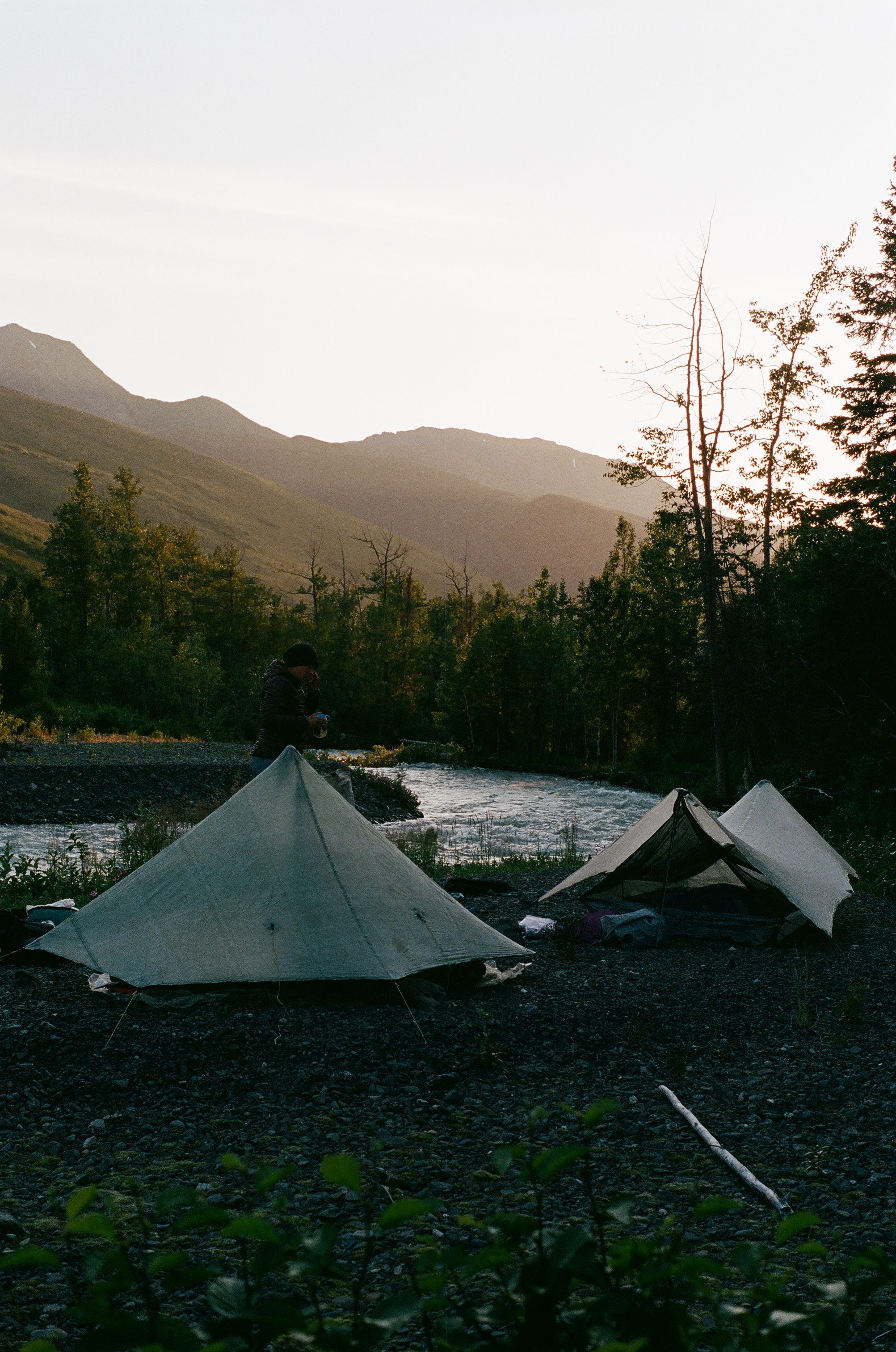
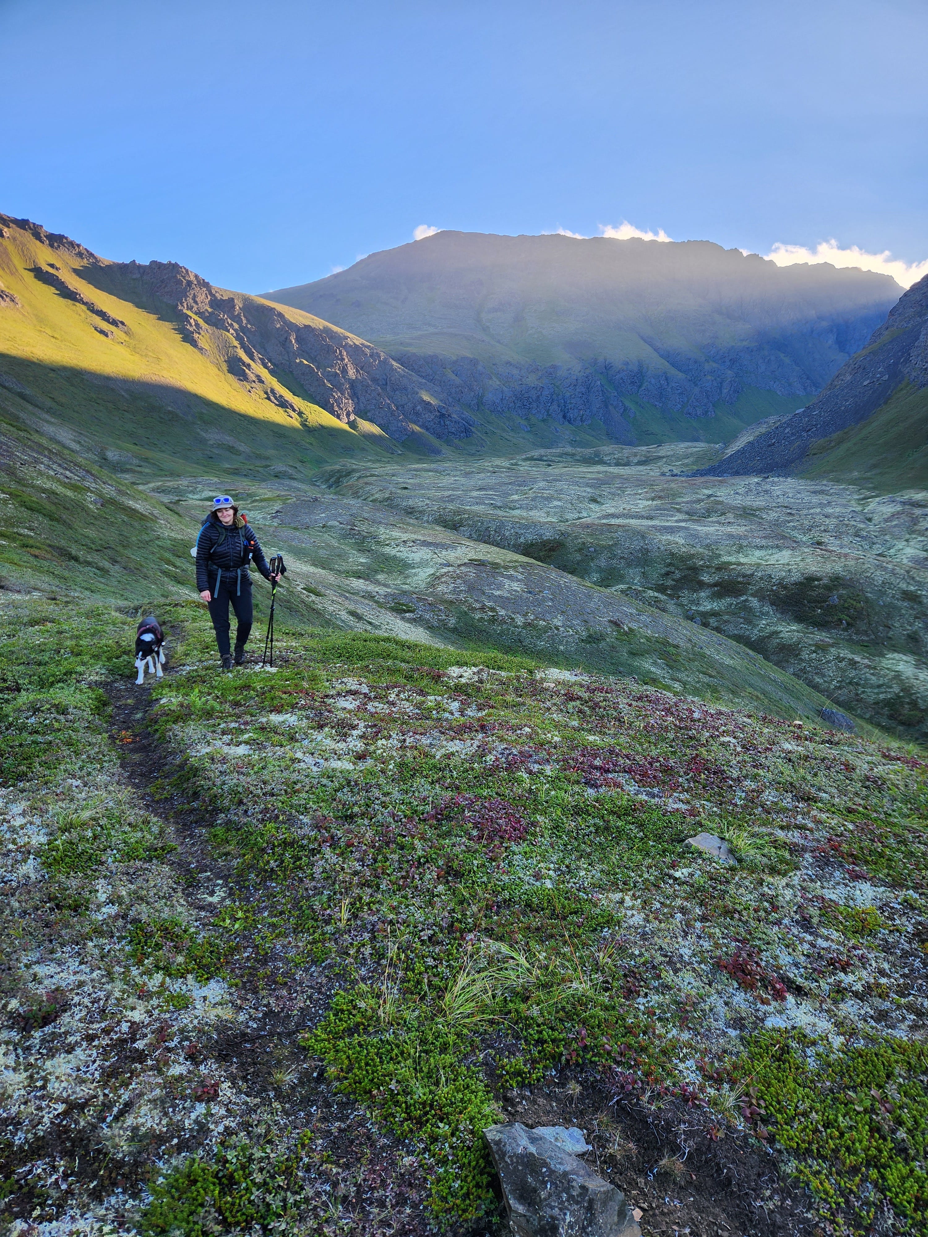
In 2020 I spent June and July in Anchorage, taking a much-needed break from the isolation and baking heat of Tucson covid summer. My friends let me live in their guest room and join their pod, and it highkey saved my mental health. While here, I decided I wanted to traverse the Chugach mountains- the mountains just outside Anchorage, the ones I had grown up looking at, the mountains of which I am most fond. I hobbled together something from bits of things I found on maps, online, and from the knowledge of friends, and some friends and I hiked it- it was extremely steep, exhausting, and imperfect, but it went. Ever since that summer I’ve been working on that route, slowly improving it and rerouting the less awesome parts of it- learning to use the slope angle shading layer in caltopo was a revelation, and when gaia quietly released their public tracks layer, well… that was really something. I’ve re-hiked all of the route at least twice (some parts four times), with the exception of one short climb that I added last year after hiking season was over. As of this writing, I’m really happy with it. The work to reward ratio is extremely high (unless it’s raining, but I wouldn’t recommend hiking this if the forecast is solid rain!) and while it’s only 77 miles long, there’s just so much that happens in every mile that it feels like a much longer journey. While I’ve been poking around on caltopo since 2017 (when I made a route for the Brooks Range Traverse that I attempted in 2018 but ended up doing just half of because the weather that summer was much too hardcore for me), this is the first thing I’ve created on caltopo that feels really finished.
Full details and the map of the Chugach Crowberry Traverse are here- maybe you want to hike it and tell me what you think?!
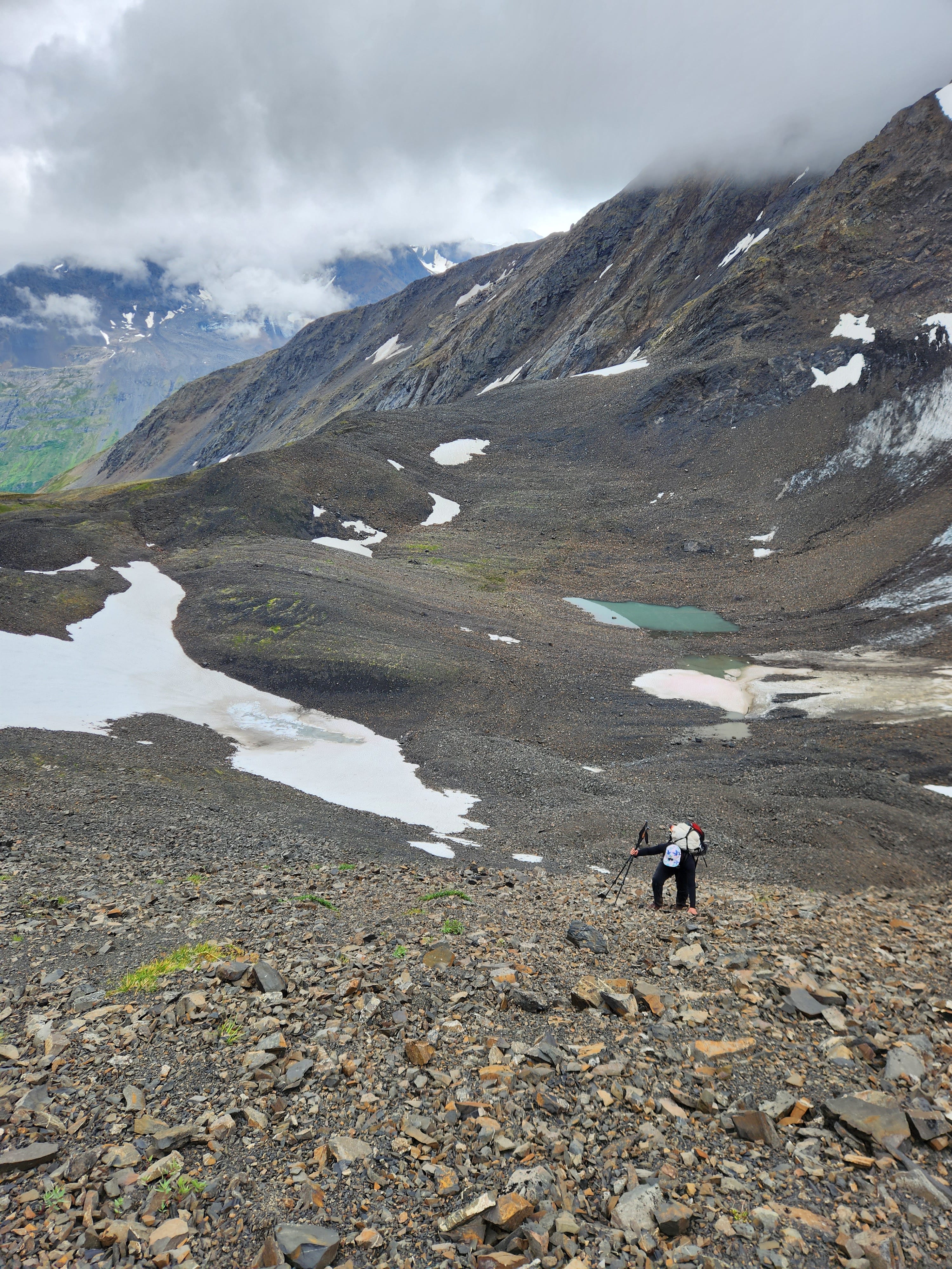
Making a route in Alaska (like anywhere) comes with its own unique challenges. When looking at a landscape and deciding how to travel through it, you have to ask yourself questions like what happens at different elevations? (What elevation is the forest? What elevation is the alpine tundra? What elevation does a particularly nasty variety of brush grow?) and then you have to figure out how to get through these different layers- in the Chugach mountains, treeline is around 2,000 feet, and the walking above this, in the tundra, is often excellent. But below treeline you often find dense forest and brush- so how to get through this to get to the tundra? You can bushwhack, sure, and lots of people in Alaska do, but I personally hate dense bushwhacking, and I don’t want to send other people into bushwhacks- so the part of making this route that took the longest was figuring out how to get my little imaginary hiker up into the tundra, and down again when it was time to descend, and then back up- without any heinous bushwhacks. And I feel like, for the most part, I was successful. And I’m really proud of that!
To do this, I started by finding the built trails that already existed to get above treeline, and adding those to my route. Then I looked for overgrown landslides and other natural paths like that to get above the trees. Finally, I just went out and hiked- because I knew there would be use trails (human and animal trails that exist just from use)- and I found some. And in areas where there weren’t any, I re-routed.
In a different landscape, the challenges will be different- in the Sonoran desert of southern Arizona, for example, the plant life changes as you climb from two thousand feet all the way up to nine thousand feet, in the sky islands, and the walkability with it- the desert at two thousand feet is generally pretty open, with plants well-spaced, leaving lots of room to walk- overland travel is fairly straightforward. As you climb higher, catclaw appears (around four thousand feet? Although I could be remembering wrong) and creates much suffering. The palo verdes turn to oaks as you keep climbing and then, finally, to ponderosa forest- ponderosa forest is the best forest to walk cross-country in! The understory is completely bare for some reason, just a flat soft carpet of pine needles- a dream!
Other factors to think about when making routes are steepness, and whether the pass you’re hiking towards goes or not, and water crossings/water availability, and land access, etc etc.
Because I love nerding out about this stuff, I’ve decided to offer an online zoom workshop on using caltopo to make hiking routes! Where we’ll talk about all of this, and more. The workshop is Sunday, April 28, at 11 am PST/2 pm EST, and it’s sliding scale. Full deets and the link to register are here. You should come! Also please tell other people about it, if you want.
If you have any questions about the Chugach Crowberry Traverse or the caltopo workshop, leave them in the comments!
In other news, moving has consumed my entire life this month. In 2021, when I first moved back to Anchorage, I brought up only what I could fit in my van. Now I have a whole house’s worth of stuff, and while the stress of packing everything makes me want to get rid of all of it and be a minimalist who sleeps on a blowup mattress and owns only a long-handled spork and one change of clothes, I’ve lived long enough to know that as soon as I have a home again I’ll be really happy to have my things. Life just requires so many things, you know? Like, sometimes I car camp. Or bake. Or do puzzles! Occasionally I have a sushi-making party. Twice a year I change my studded tires for summer tires. I own a bicycle! It’s nice to have more than one towel. Living in Alaska requires SO MANY different pairs of shoes. And suddenly I’m buying not five, not ten, but twenty-five cardboard boxes from u-haul, and all of them are full. I hate it but it’s ok. And I’ll get through it!
Soon I fly to Utah for my intermediate guided backpacking trips- some sunshine and quiet desert canyons and making inside jokes with clients will be such soothing balm for my harried moving brain. One last minute spot opened up in the second session (April 13-19), if you want to join- deets and the application are here.
And for the super in-depth caltopo route-making experience, there are still a few spots in my summer Brooks Range trips- deets and that application are here.
That’s all for now,
Carrot
Thoreau’s stuff:
The interior of the house was furnished with a bed, a table, a small desk and lamp, and three chairs -- "one for solitude, two for friendship, three for society."
That is a kind of benchmark for the simple good life, especially if your friends feed you most evenings and your mom does your laundry, as was Henry’s happy arrangement.
Just hiked the first 40 miles. Couple spots were a little sketch from the loose rocks. But other than that, it was an incredibly challenging and beautiful hike.